A Virtual Walk Down
To Graveling Point
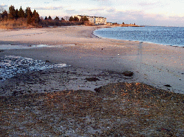
| Heading Down to Graveling Point. Photos Taken March 12, 1998 | The View as you walk down Mystic Beach towards the point. |
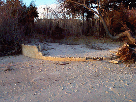
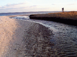
| The old foundation for the merry-go-round. Circa 1970 | The creek at low tide. You have to cross this to reach the point. |
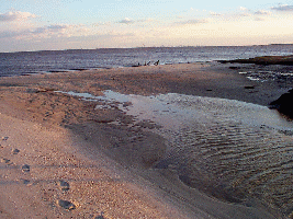
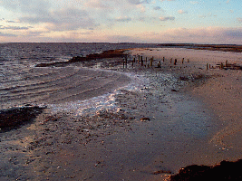
| Tidal pool at the end of the creek during low tide. Cross here. | Heading across the creek. It's easier to cross on the bar. |
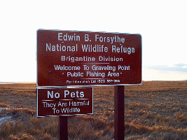
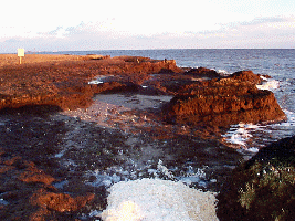
| Welcome to Graveling Point Public Fishing Area. | View looking back towards Mystic Beach. |
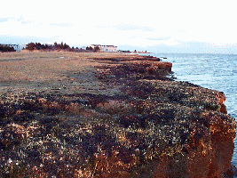
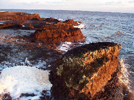
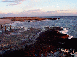
| The shoreline stretch leading up to the point. Condos on Mystic Beach in background |
|
|
|
|
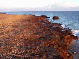
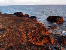
| Distance view of Graveling Point | Turning around, looking out towards the Mullica River |
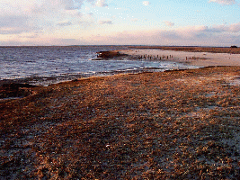
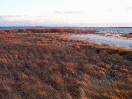
| Scott's says lots of erosion shown here, loss of at least 4' of sand |
 >
> 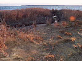
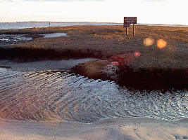
| Bayberry bushes grown up during the last two years. | Irrigation ditch turned into a creek by the tides/erosion |
 >
> 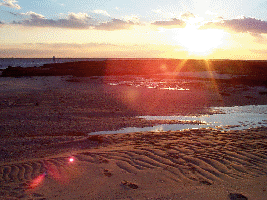
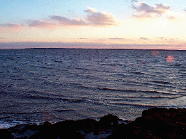
| A nice pair of pics of the sunset out beyond the
point.
Thanks for Visiting! |
Return to FishingPage | Daily Report | |
|
Additional Fishing Aides:
Arial Shots of the Point A Road Map to get there! | ||